Where is Scarborough Beach?
- Location: Scarborough, about 13–14 km north-west of the Perth CBD, Western Australia (approx. 31.894° S, 115.755° E).
- Main roads: West Coast Highway runs north–south behind the beach; Scarborough Beach Road runs east to Osborne Park and the city.
- Neighbouring beaches: Trigg to the north; Brighton, Floreat and City Beach to the south.
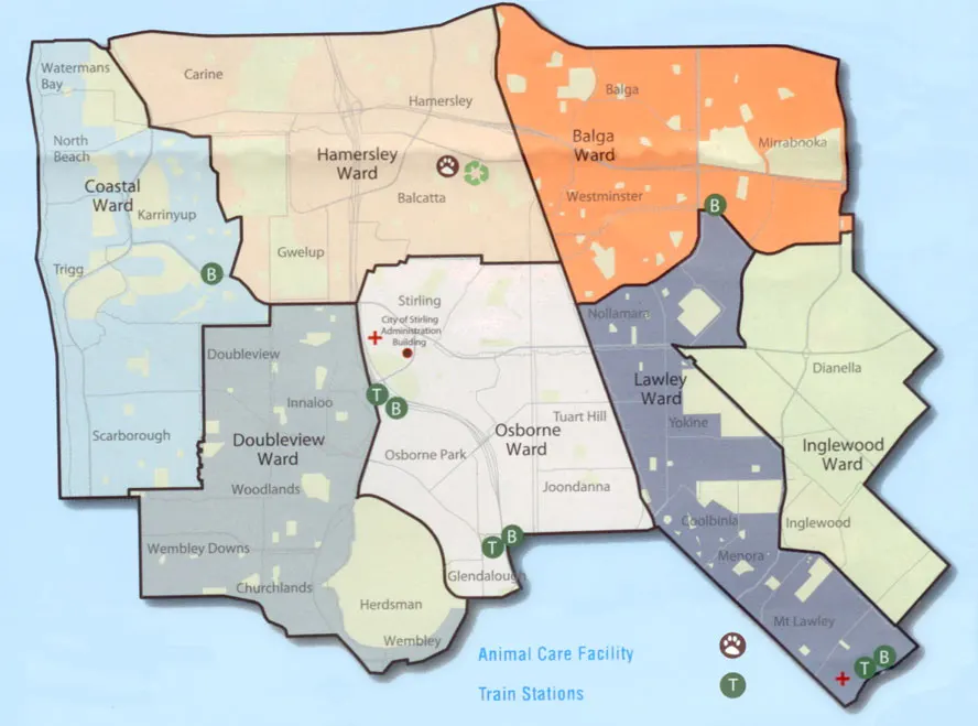
- Council: City of Stirling (Coastal Ward).
Interactive Google map of Scarborough Beach
Use the interactive map below to find hotels, landmarks, cafés and beach facilities. Zoom in for a street map or switch to satellite view. You can also search for a business type, such as "cafe" or "surf shop".
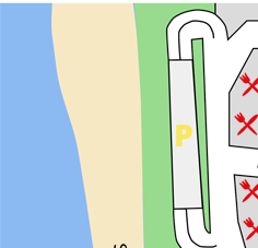
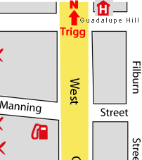
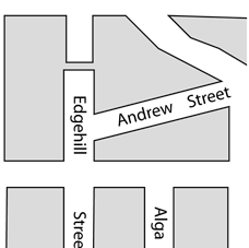
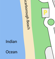
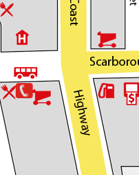
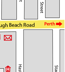
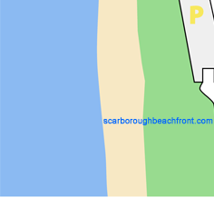
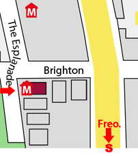
Scarborough tourist map
This classic Scarborough Beach tourist map shows the beachfront streets, accommodation and landmarks. Click a business on the original map to visit its website. The map is not to scale. A 1.3 MB PDF print version is also available.
Bus routes from Scarborough Beach
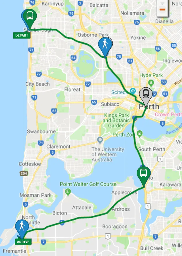
Perth's public transport uses a hub-and-spoke model, so most trips from Scarborough go via Stirling train station. To reach Cottesloe or Fremantle by public transport, catch a bus from Scarborough Beach Bus Station to Stirling, then the circle route that runs via Sir Charles Gairdner Hospital, Perth Children's Hospital and the University of Western Australia to Cottesloe and Fremantle. There is no longer a direct coastal bus south along the Sunset Coast. Use the Transperth journey planner for current routes and times, and see transport to Scarborough Beach.
Stirling council wards
More map images
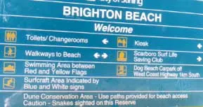

More maps and transport links
- Big Map of Scarborough Beach
- Google at satellite Map of Scarborough Beach
- Google Map Scarborough Beach
- Perth Map
- OPTIONAL Scarborough to Cottesloe Beach and Fremantle bus nu
- PUBLIC TRANSPORT JOURNEY PLANNER
- Brighton Beach
- people
- scarborough north
- Scarborough Tourist Map
- Banner ads
- p
- Contact
- Get to Scarborough Beach from Perth airport
- www.mapgoogle.org
Last updated 2 November 2026 · Scarboro.info, an independent guide to Scarborough Beach, Perth.